How many times have you had a chance to be on the source of a river? The Soča river source is just some 20 minutes walk from the car parking. Here you have my short report about it.
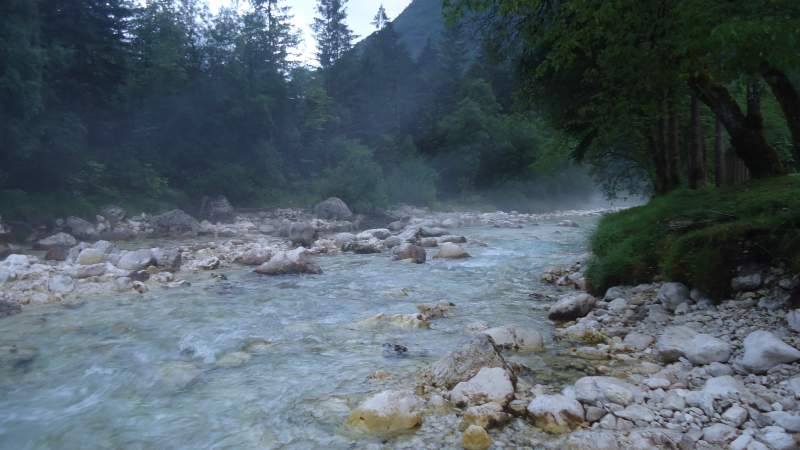
Here below is the Socha river just a couple kilometers from its source, crystal-clean and beautiful, an early morning photo:
How to get there
If you check on Wikipedia, you will find plenty of information about this river. So there is no point of repeating what is there already. I want to say a few words about it from my own perspective. Here just to stress that the name is Soča in Slovenian and it is pronounced as Socha. The Italian name is Isonzo.
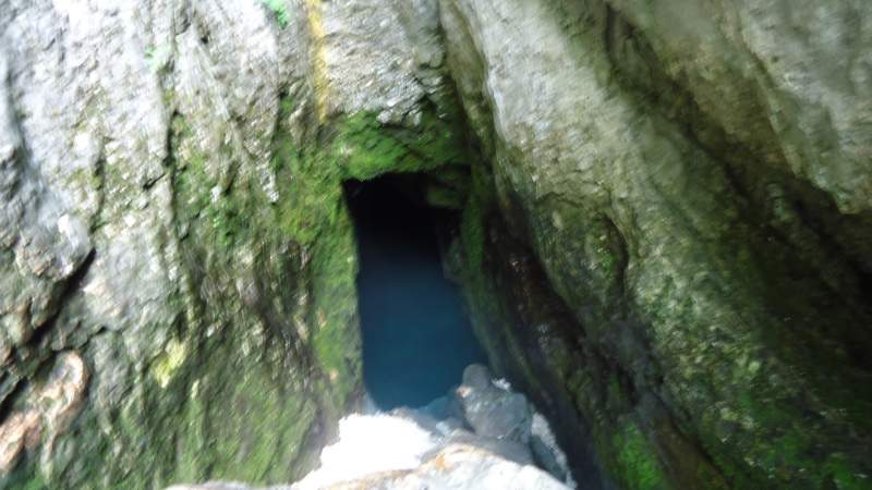
There are several places in the area where complete rivers appear from the rock. This is because the mountains are like a Swiss cheese so all the snow melts and goes into the underground caves and then you have strong water sources in the low valleys around. You can see one in my text about Kanin. The same is here with the Soča river.
If you plan to climb Jalovec from Zadnja Trenta valley, you will be very close to the source of the river. The car parking is at the hut with the appropriate name Hut at the Socha source (Koča pri izviru Soče), see the picture:
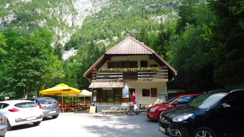
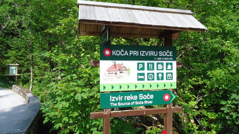
The hut looks like a road restaurant, but this is indeed a hut at the elevation of 886 m, and you can see more information here. The source is in the rock which you see behind. The following picture gives you some idea what the hut offers:
Also, if you go to Razor mountain from Zadnjica valley, you will be very close to it. Just continue along the Trenta valley in the direction of Vrsic Pass. The same holds if you climb Bavski Grintavec from Zadnja Trenta valley, you will pass the Soca Source hut. As you realize from these links, I have climbed these mountains so I could not miss visiting the Soča source.
The access roads from all the sides can be seen on the map which you have in my text about Vrsic pass. So when you drive from the pass, you will have the hut on the right side. The map below shows its location:
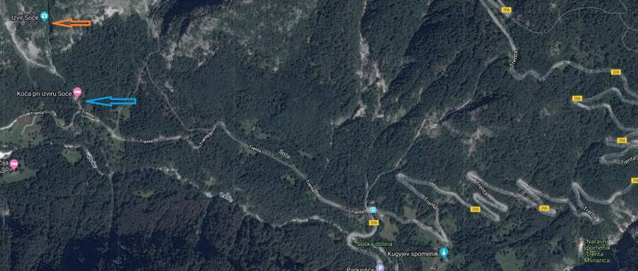
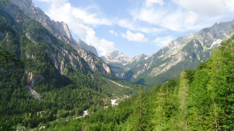
The blue arrow is the position of the hut and the orange is the position of the source. The main road to Vrsic pass is visible on the right. Although the source is not high, you still have some nice views around. The picture below shows what you can see; this is Bavski Grintavec and the magnificent Zadnja Trenta valley.
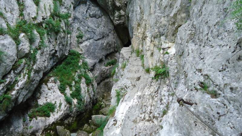
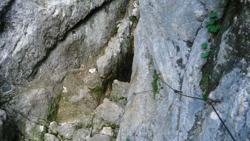
So when you pass the hut, just go up and in some 20 minutes or so you will be at the source. The path is steep but this is a pleasant walk through the woods. Note that there are several ferratas before reaching the source, just to know. So if you have the ferrata stuff and problems with vertigo you can use it. But it is easily done without any equipment, see some pictures.
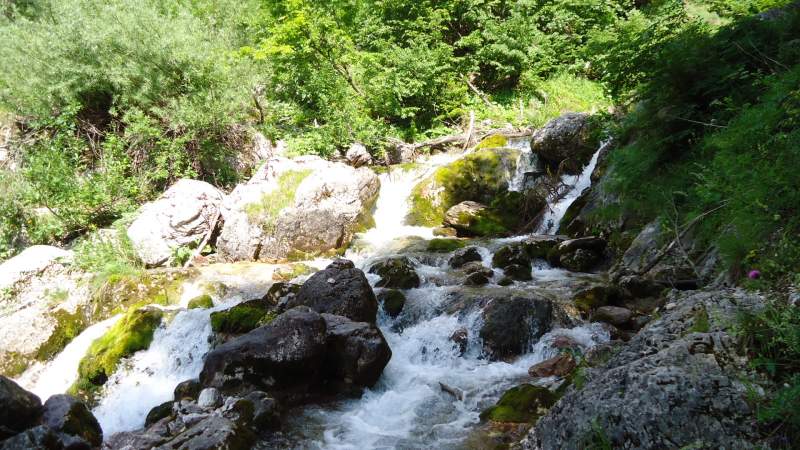
Here is Socha river welcoming you:
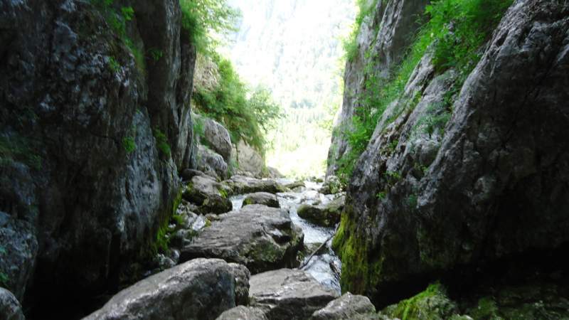
Now a few more photos before getting to the source:
Thank you for reading. Please let me know if you have any question or comment. Have you been there? If so let us know, share your thoughts in the comment box below. We have an open invitation for guest authors if you have some interesting mountaineering experience to share.
Leave a Reply