If you plan to climb Jof Fuart, then Rifugio Corsi will be your destination. I have been there and this is my report about the hut. Keep reading.
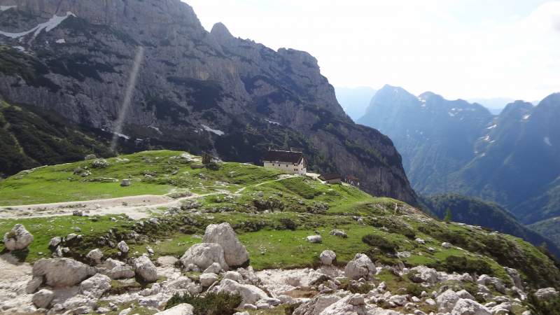
Rifugio Corsi is directly under Jof Fuart, see the picture below, this is what you see from the hut. There are several routes from the valleys that go there, and also several routes from the refuge go up the mountain.
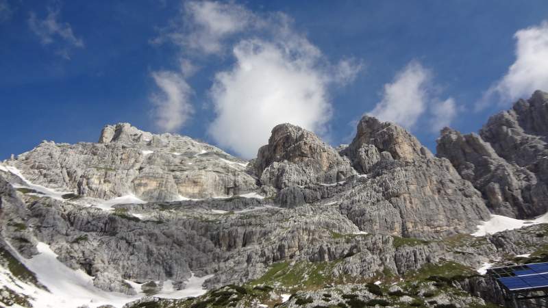
Basic data
- Altitude: 1874 m (6148 ft).
- Nearest town: Cave del Predil & Tarvisio.
- Mountain range: Julian Alps.
- Coordinates: 46.422037 N/ 13.500069 E
The hut was closed when I was there. This was the last week of June, so most likely it was too early. In this part of the Alps the huts are usually open from the beginning of July.
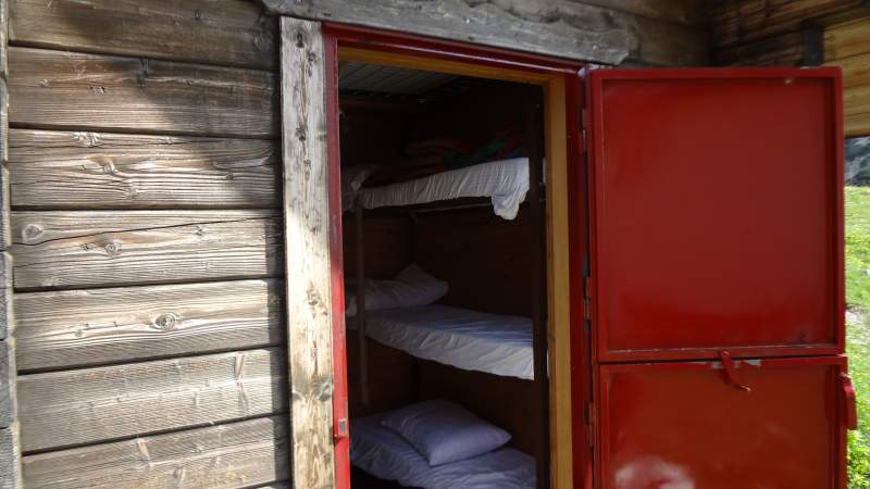
So I was able to see from inside only its winter refuge. This is a separate wood cabin behind the main building. From what I see on the CAI site, it remains open even in summer season, I assume this is a correct information. From what I know, in most huts in the Alps such winter rooms are closed when the main hut is open.
In any case, the winter refuge is equipped with all you need to sleep comfortably. So you have thick mattresses, pillows, and plenty of blankets.
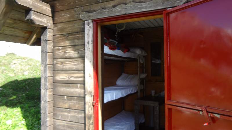
There are 6 beds on the two sides, see the pictures. But, there is a platform above the head, so it appears that two more people can sleep there if necessary. There is no equipment for cooking bear this in mind.
How to get there
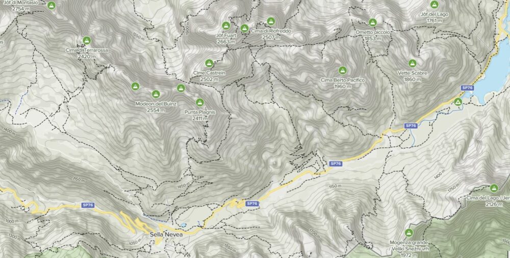
You have already seen the map of the area above. But if this is not readable, I have prepared for you this zoomable Google map below, with marked starting access points from the south side. I have walked two of them so I can share all information from my own first-hand experience.
Please zoom in to see more details, you will be able to see the access paths. Zoom out to see the larger area and access roads.
- The yellow marker is the start point from a car parking close to the lake. When you come from the Tarvisio direction, the parking is on the left side, around 2 km after the lake. Close to the parking, on the opposite side of the road there is a sign for the path that goes to Rifugio Corsi.
- The blue marker is the start point for the path that passes Malga Gratnagar. This is a good and sometimes very steep road but private, so it is not open for public. The steepest sections are concrete and the rest is macadam.
- The red marker is the start point from Sella Nevea Pass.
- Finally, the pink marker denotes the position of the Guido Corsi hut.
The shortest approach is from the yellow marker, but this path has some ups and downs, and the starting point is the lowest of the three.
The most convenient is the Malga Grantagar access (blue marker) because this is walk along a good road. This is a place where you can have food. Only above Malga Grantagar you follow an easy path to the hut.
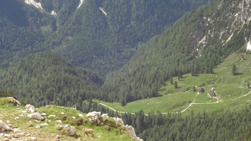
The access point from the Sella Nevea pass (the red marker) is at the highest elevation but there is a bit of descending at some point. However, this is a scenic approach, when you are above the forest level you will have great views of Monte Canin on the opposite side of the valley which I climbed a couple of years earlier, see the picture.
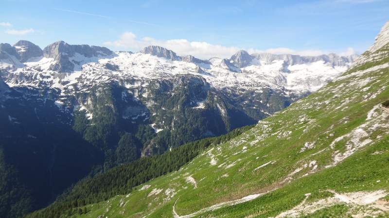
Note that I have even walk the main road, the section between the red and blue markers.
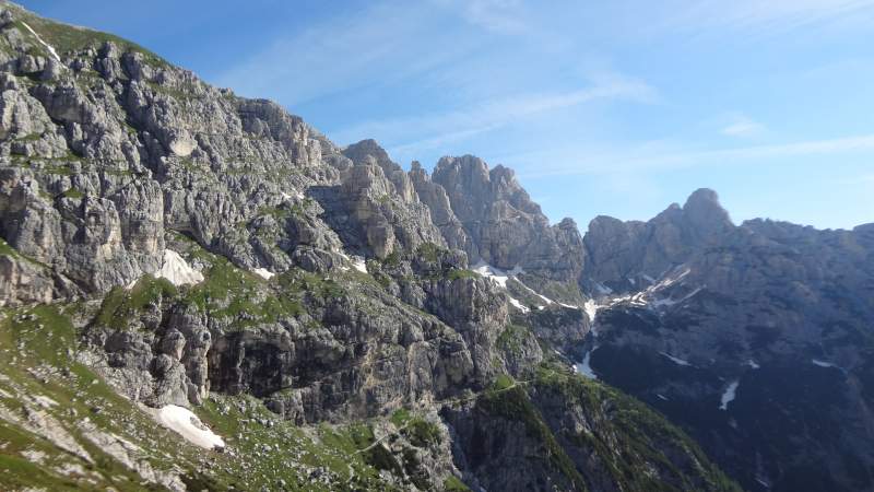
The picture below shows the upper and flat part of the route close to Rifugio Corsi.
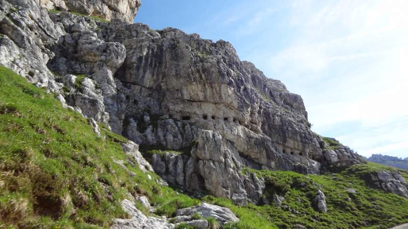
This area was the front line in WWI, and the picture below shows the openings made in the rock for shooting:
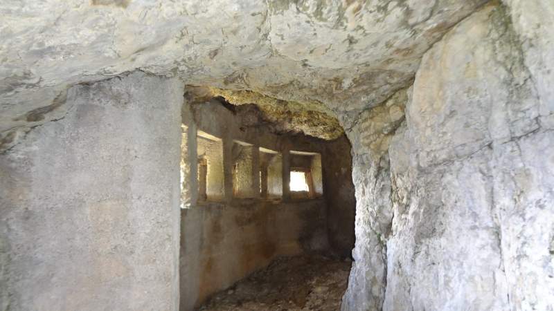
When you get in, you can smell goats who obviously use these tunnels as their own winter refuge:
So, thank you for reading. Note that I continued from the refuge and walked the Ferrata Goitan route above, so follow the link to read more. Check also my report from the tour to the nearby Luca Vuerich refuge, and my report about climbing Jof di Montasio.
There is a comment box below, let me know if you have questions or comments. Bookmark this site and visit it again, I add texts here regularly.
Leave a Reply