Rifugio Cevedale Guido Larcher is on your way if you climb Monte Cevedale from the south side. You can stay the night there, the climb after that is still more than 1000 meters altitude difference.
I was in the Italian Alps during the pandemic, and you can read about some of my tours in my texts about Monte Vioz and Cima Piazzi. I wanted to climb Monte Cevedale, and being on the south side of the mountain, this looked like a good idea for a solo tour.
The tours from the north are more attractive, you can realize this if you read a bit about my earlier tour to Cima Solda. Namely, when you come from the north and get to Rifugio Casati (3245 m), the rest is just a simple glacier walk and the elevation difference is very small. But it is a glacier tour with lots of crevasses, this is why going solo is not really a smart idea.
On the other hand, the access from the south-east is more or less glacier-free, in particular, if you follow the ridge route from the Forcola Pass (Fürkelescharte, 3032 m). This implies climbing Zufalspitzen (Cima Cevedale, 3757 m) and then continue to Monte Cevedale (3769 m).
So this is what I tried, but did not finish the climb, the weather was really bad. It was raining when I started, and it continued so all the way up. This is why all my photos are so dark and unattractive.
How to get there
If you are not familiar with Italian Alps, and if you are not a really good driver, then you might be in trouble when you get there. The roads in the Italian Alps can be incredibly narrow, and I have no idea how they manage.
The access road from the Peio valley is well-maintained asphalt, but incredibly narrow. Luckily, I was driving very early in the morning so it was unlikely that there will be anybody coming in my direction. But I was worried about what would be when I get back and drive to the valley.
Anyway, from the main road in Cusiano Trento/Ossana, take the direction towards Peio (Val di Peio). After several kilometers, you will see Peio high above the valley, and when you get to Cogolo, turn to the right into Val de la Mare. After that just keep driving. The mentioned narrow road will take you to the large parking area that is at around 1970 meters above sea level.
The parking is below the alpine restaurant Malga Mare which appears to be a very popular place, so bear in mind what I said about the narrow road.
The interactive map below will help you to get some idea about access roads. The blue marker is for the parking, the green is the position of Refugio Larcher Cevedale, and the red is my highest point during the tour. Note that you can move the map in any direction, and zoom out to see access roads from a larger area, or zoom in to see more details.
What I did
I started early from the valley below and I was at the parking almost exactly at 5 am. The weather forecast looked good, but the actual weather was terrible.
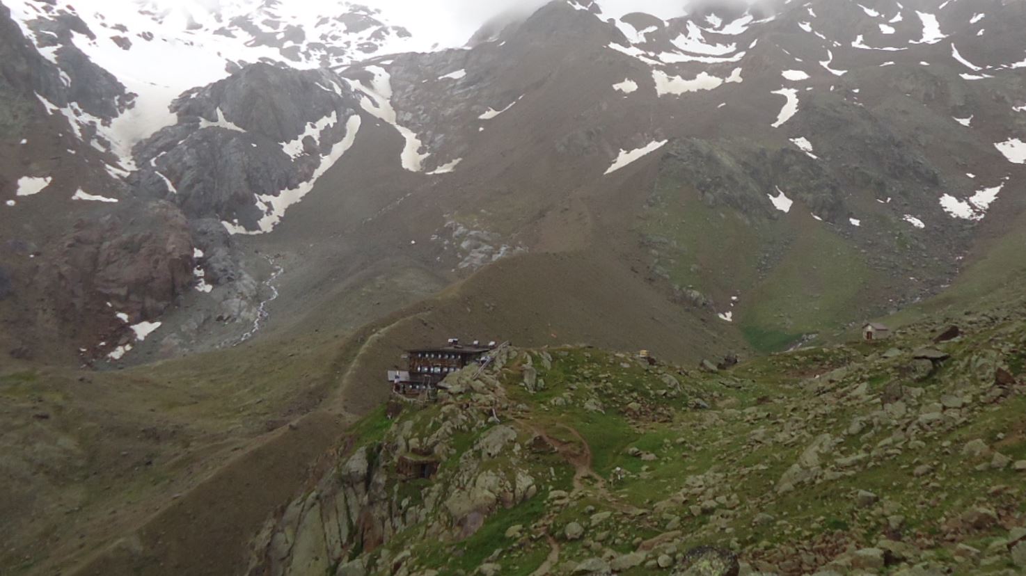
I started walking and at some moments it looked indeed that the weather would improve, the photo below is practically the best I had that day. This is the view towards the mountain, and the Rifugio Cevedale should be on the right, but it is not visible.
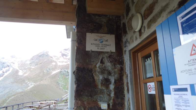
I arrived at Rifugio Cevedale in well below 2 hours of walk. I stayed there quite some time undecided about what to do. It was open, but I did not want to enter, as mentioned, this was the time of the pandemic. The picture below shows at least some information, and you see it is at 2607 meters of altitude. Warnings about the virus in several languages, as expected.
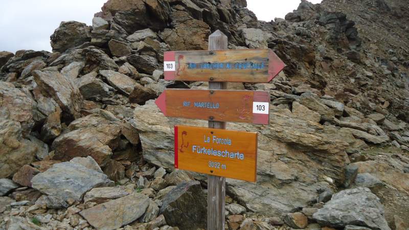
So after some time, I decided to continue, and soon I was at Forcola Pass (3032 m), below you can see some information there. At this place, you can descend in the northeast direction towards Ganda Valley. There is a glacier to pass if you plan to do so.
So I took the ridge route that goes to the left up from the pass. It was raining, but there were rare moments when it looked that the forecast could be correct after all. But this was not so.
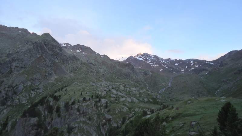
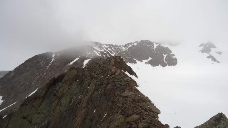
The picture below shows the place where I was when I decided to call it a day and go back. This was a more or less clear moment when it made sense to take a photo, the real situation was much worse. It was both raining and snowing, and I was in the clouds.
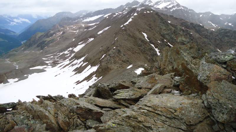
Below you can see the Forcola pass as I was descending. On the left is the Ganda valley mentioned above.
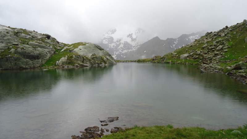
So I went back, passed the hut without staying there, and decided to take a tour of several lakes that are close to the hut, some natural and some man-made. Below is one of them. See the clouds, it was raining heavily at that moment.
The lake below is a man-made lake, and the color of the water is real. Imagine how beautiful this would be on a sunny day.
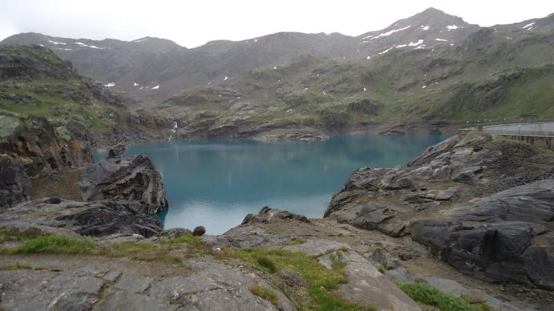
It was raining practically all the time, but I did not care, it was not cold. I managed to drop one of my trekking poles from the dam into the lake shown above. They were completely new, it was the first day I was using them. What to say, I felt miserable.
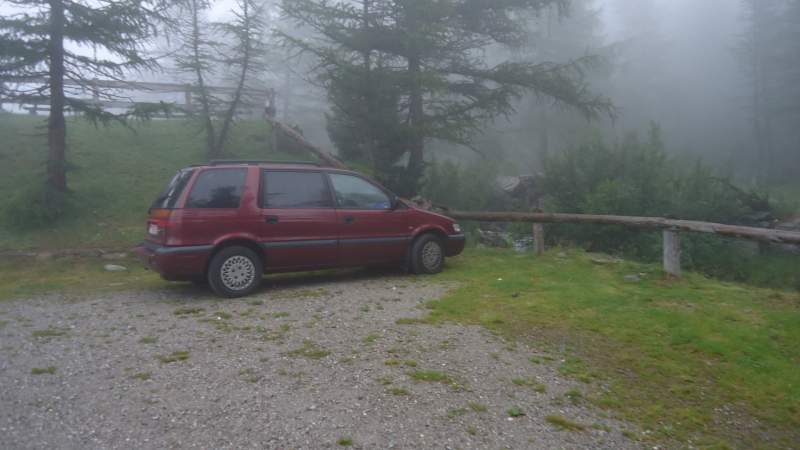
But on the whole, this was I great day in the Alps, and this was a long day tour, I made it long on purpose. I love rain (yes I know this sounds strange, but nobody is perfect), and I love walking in the rain. This was a day of solitude in the mountains with lots of memories and reflections. I wish I could have them more. The picture below shows the atmosphere at the parking when I arrived back.
I hope to climb Monte Cevedale next time, perhaps from the north. The new season is coming and I am hopeful to be in the area again, just received my first vaccine. One more and I should be ready to go without quarantine.
Stay tuned, and bookmark this site. There is a subscription form for my weekly newsletter, so stay in touch. Thank you for reading and have a nice day.
Leave a Reply