Tenerife island as a whole is a giant mountain which rises from the ocean floor up to 7500 meters. However, above the sea level, its highest point is Teide (or El Teide, 3718 m). The island belongs to Spain, and with such an altitude Teide is the highest Spanish peak, far exceeding the mountains on the mainland.
[Eleni Karaindrou – Adagio]
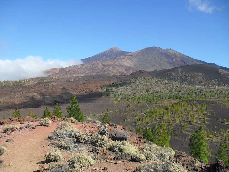
Tenerife is in the Atlantic ocean, about 300 kilometers west of Morocco, and it is the largest of all Canary island. With around 900 000 inhabitants it is also the most populated. The island has been in Spanish hands only 2 years after Columbus’ discovery of America, more precisely from 1494.
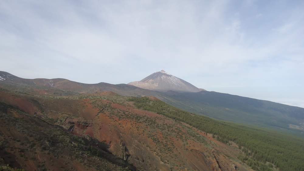
This is a ragged young soil, according to Wikipedia it was formed in the present shape about 3 million years ago. The island is completely dominated by Teide. The other prominent peaks are Pico Viejo (3135 m) and Guajara (2718 m), and there are many more of a smaller height.
Teide, together with Pico Viejo and Montaña Blanca make a central part of the volcanic complex. With their surroundings, they make the Teide National Park, one of the most visited in the world, with close to 3 million of visitors per year. In 2007 it was named a world heritage site by UNESCO.
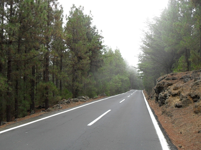
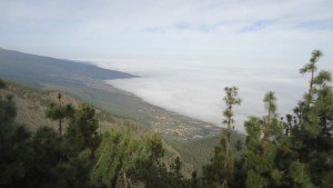
The roads on Tenerife are good and attractive. One great example is this road from La Laguna to Teide area, the Esperanza road which follows the main ridge of the island in the northeast-southwest direction.
The road starts at around 550 meters above the sea level and goes to more than 2360 m of altitude at Teide. It offers great views most of the time, to both north and south side of the island.
Within this site I describe some of these mountains which I climbed in several occasions, follow some of the links in the text. Some interesting hiking routes are also described here.
Danny says
Hi, going to Tenerife next week (2nd April – 9th) and want to walk down the Masca Valley (great feature by you). I am staying in Los Christianos and wonder how I get to Masca, how to book the boat and do I need a guide? My wife and I (48 and ,me 62) do lots of walks in The Peaks, Lakes etc and get – up high, so are pretty fit.
Anything you can help with would be most appreciated.
Thanks
Danny
Jovo says
Hi Danny. I am sure you will do it easily, it is descending all the time. About the boat reservation: my friend used it and he reserved it, as I remember it was easy to find on the Internet. Unfortunately I did not pay attention and did not include the link in my text about Masca valley. But I have included bus lines links. The closest place as you see from my text is Los Gigantes. You will find easily how to get from your place by bus to Los Gigantes, there are several links in my text. From Los Gigantes people usually take a taxi to the village, not sure about the price but do not expect more than 10-12 Euro. I had a car.
I described the procedure for the boat, they will be waiting for you there if you have reservation.
No you do not need a guide, there is no way to get lost because the only way is toward the sea and it is obvious from the village, you cannot miss it. Let me know if you need any additional info, I shall be happy to help. I suggest you to contact me from the Masca valley page.
Derek says
I must say, what a fabulous site you have. Great photos of Tenerife there. Actually making me miss Spain a little bit. Spent something like 12 years there.
Love this site – mi encanta este sitio!
Jovo says
Hi Derek, I was on Tenerife for one year and did numerous hiking and climbing. There is no route in Anaga mountains which has left unknown to me.